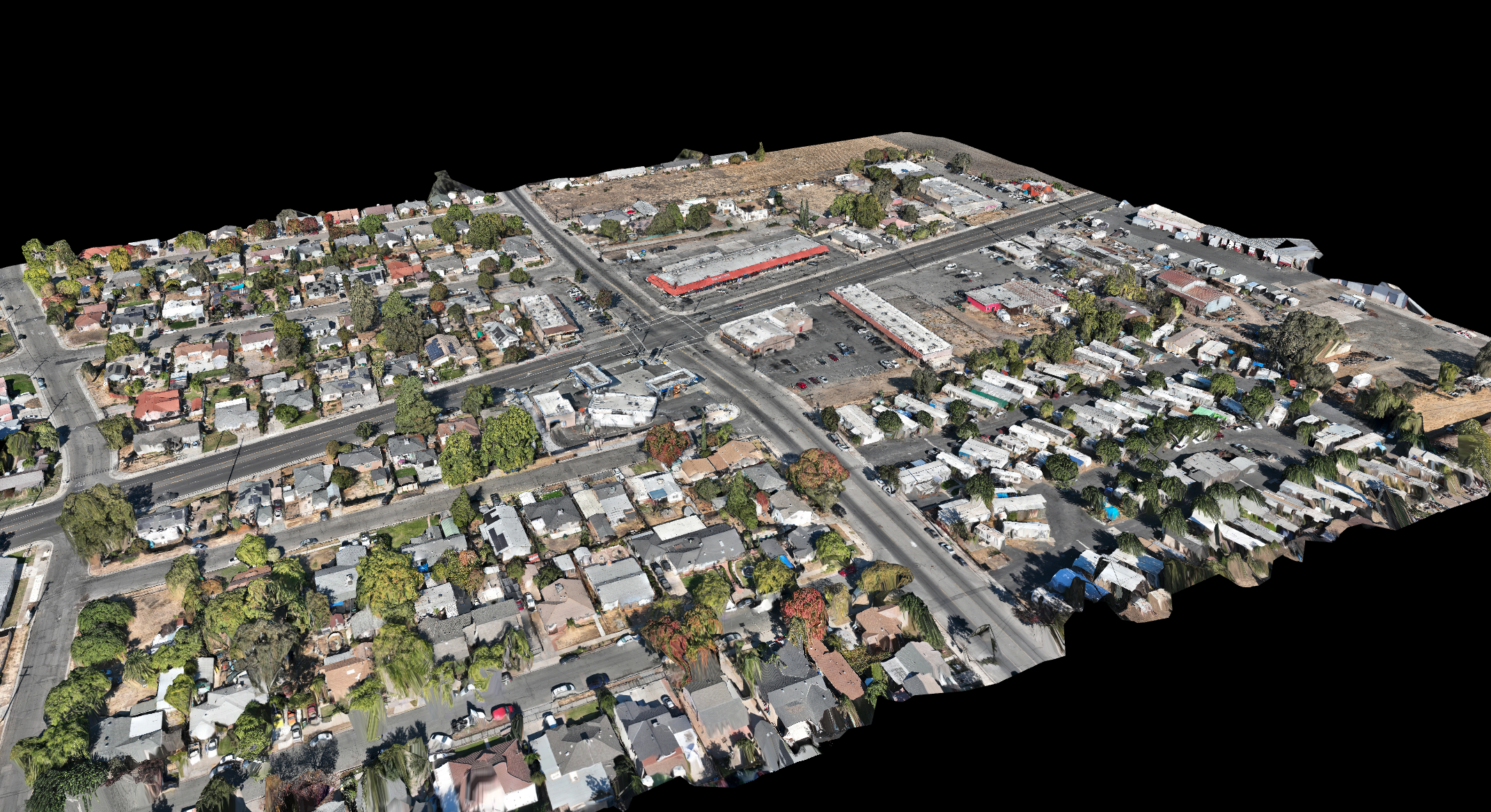
At Exhibit Drone, we recently had the opportunity to assist a company specializing in recreating accidents using animation. The company was tasked with recreating a serious intersection accident involving a truck and a pedestrian. To ensure they had the most accurate, detailed data for their animation, we used our drone technology to create a precise 3D map of the area surrounding the accident.
By capturing high-resolution aerial imagery and topographical data, we provided the team with a comprehensive digital model of the accident site. This allowed them to save time and resources, as they didn’t need to start from scratch in building their animation. The 3D map gave them a clear, accurate representation of the environment, including roadways, structures, and surrounding features—critical components for recreating the accident with maximum accuracy.
Our quick response and the ability to deliver detailed, reliable data played a key role in helping this animation company craft a compelling and precise representation of the event. It’s another example of how Exhibit Drone’s cutting-edge technology is enhancing the work of professionals in accident analysis and reconstruction.
