Orthomosaic Mapping Pricing
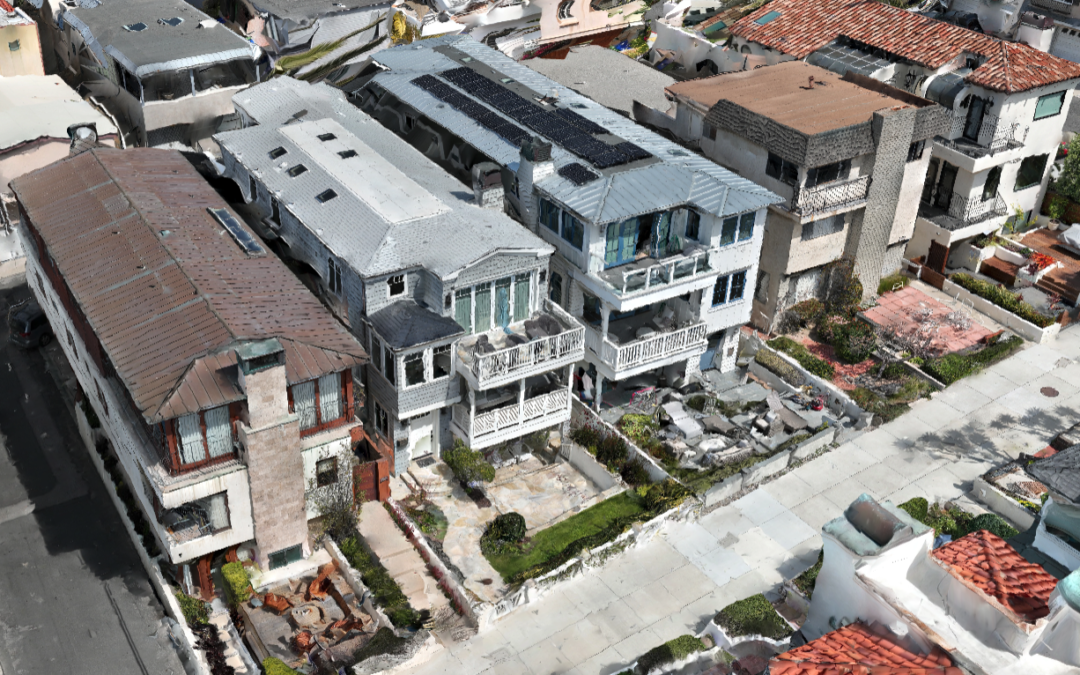
Drone mapping offers precise, high-resolution 2D and 3D maps that can reveal detailed information about accident sites, property boundaries, or environmental conditions, aiding in accurately presenting evidence.
$500/Hr
Flights will be flown at the lowest elevation possible to provide the highest detail models. There are so many variables that if you would like an estimate, I’d be happy to speak with you.