Accident or Injury Cases Drones can capture high-resolution images and videos from angles and perspectives that are often inaccessible by traditional means. This can provide crucial evidence for cases involving accident scenes, property disputes, or environmental...
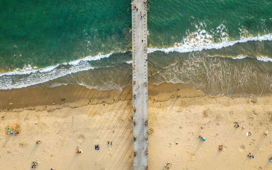
Aerial Video Videos from the air offer unique and expansive perspectives that ground-based photography can’t achieve. This helps illustrate the full context of a situation, making it easier for judges, juries, and opposing parties to understand the...
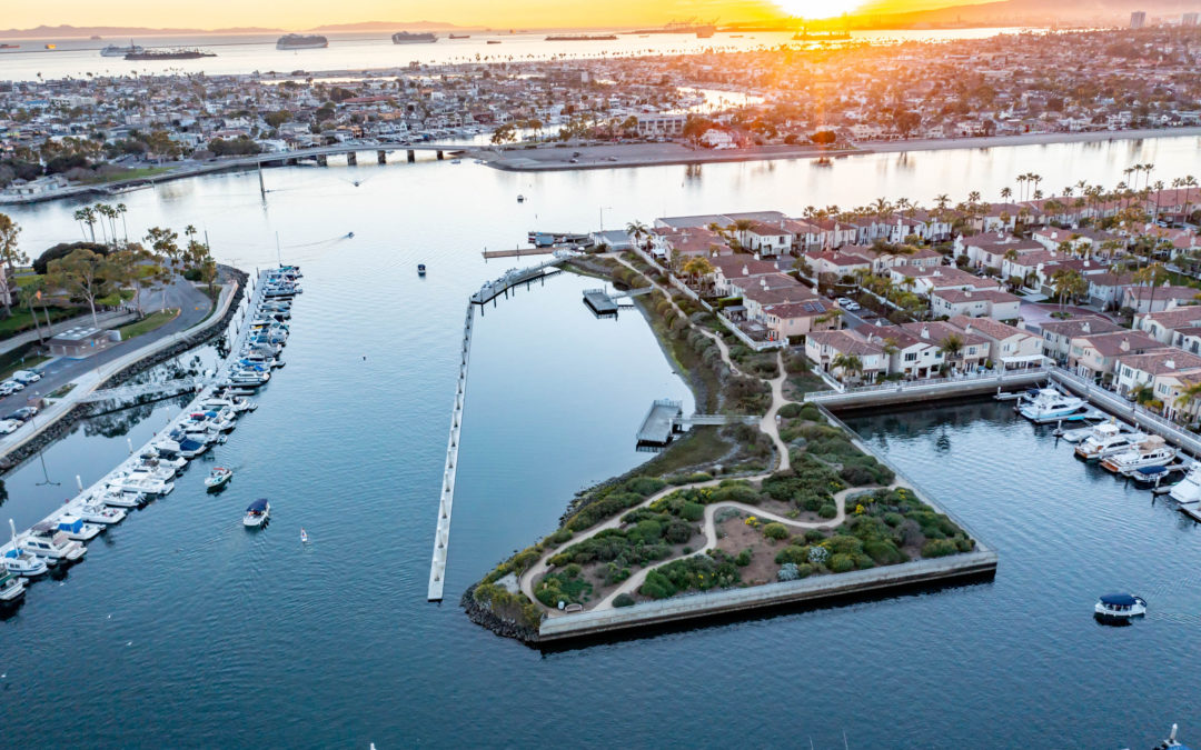
Aerial Photography Aerial photography provides a broad and detailed view of locations, capturing aspects that might be missed from the ground. This is invaluable for documenting accident scenes, property disputes, or environmental damage.
3D Modeling Photogrammetry software can create geo-referenced orthomosaics, elevations or 3D models. These maps can also be used to extract highly-accurate distances or volumetric measurements.
Drone Mapping Drone mapping provides high-resolution, accurate maps of locations, capturing every detail and aspect of the terrain. This can be crucial for documenting accident scenes, property boundaries, and areas of environmental damage.
Create Great Social Media Materials The marketing world is constantly changing—especially on the digital front. The need to create high-quality video content has become more and more relevant, especially on platforms like Instagram, YouTube, and TikTok. If you’re...