Every Model Represents Millions of Points of GPS Data Don’t wait around for the survey company to get around to your project. Drone maps can provide a high degree of accuracy. One drone flight produces thousands of measurements, which can be represented in different...
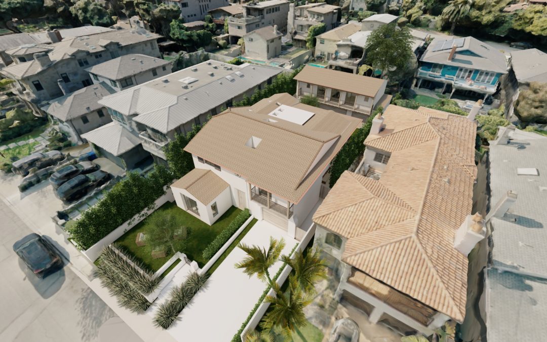
Give Your Clients a More Realistic View The data we capture with a drone can be used to build detailed 3D environments. A detailed model allows you to take your 3D model of the project and place it into a real environment. Look out any window and see what’s really...
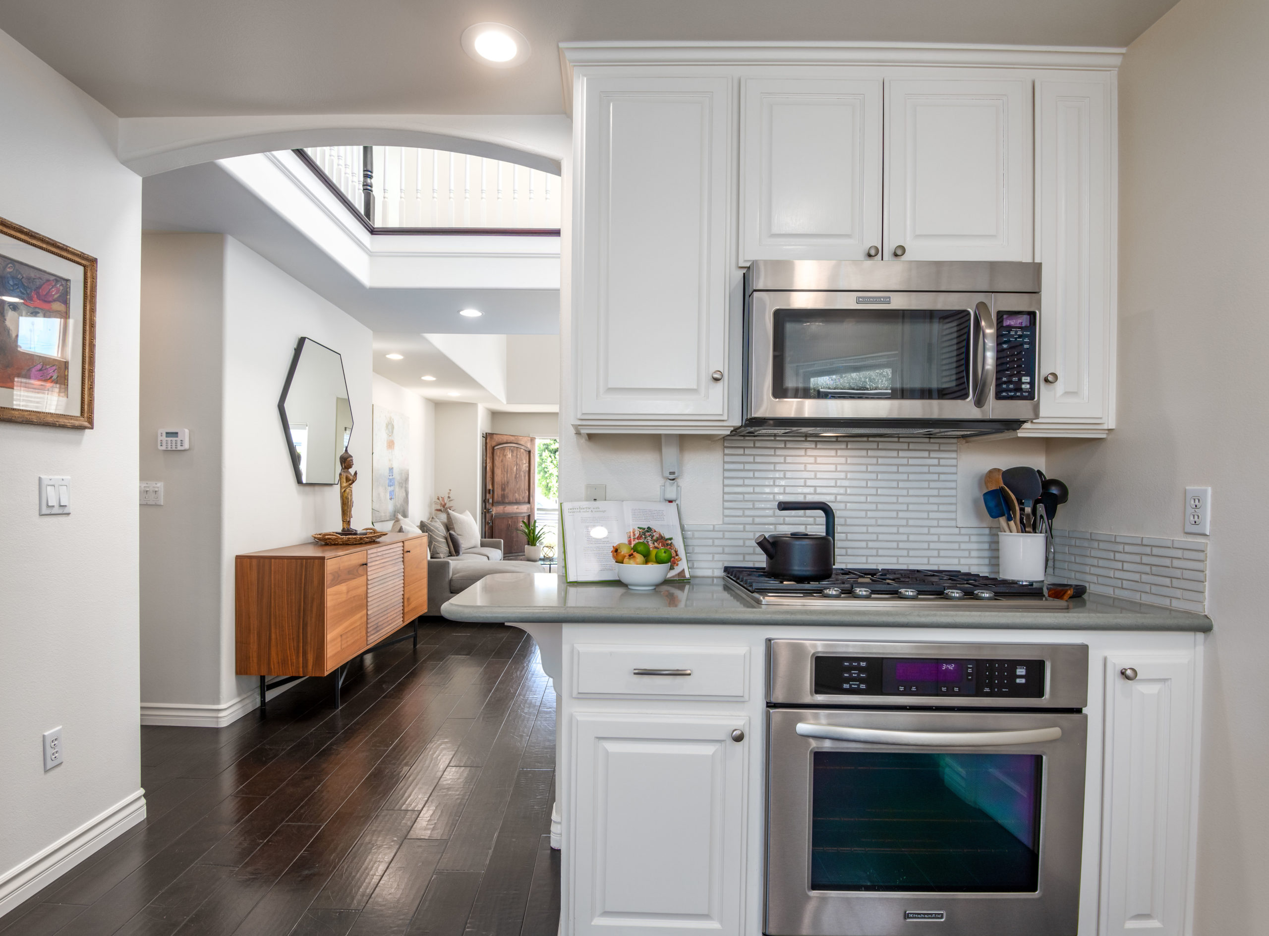
Grab More Attention With 96% of homebuyers making their purchasing decisions online, your listing needs to ramp up and grab their attention right away. Generate more clicks that turn into showings and solid offers with dramatic aerial photography. Your aerial images...
Boost Real Estate Marketing and Sales In this digital age, high-quality real estate visuals are key to attracting potential homebuyers online. Standard, cookie-cutter property photos are not enough to capture the attention or imagination of today’s tech-savvy...
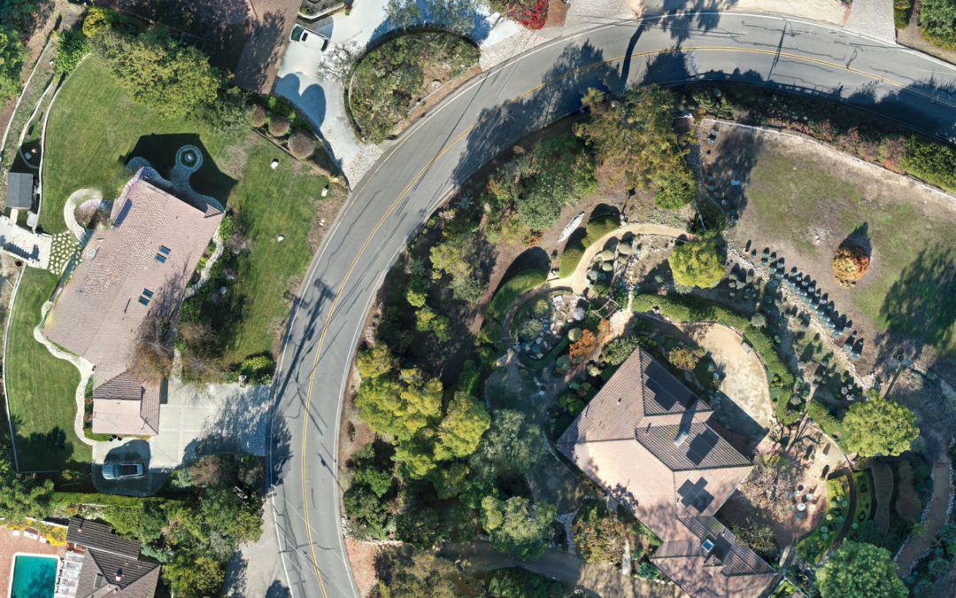
Showcase a Property’s Surroundings One major advantage of drones for real estate is better visual accuracy. Drones can deliver a bird’s-eye view of a property, allowing potential homebuyers to see a development in the context of its surroundings. Homebuyers get a...