Getting a Head Start on Designing Don’t wait around for the survey company to get around to your project. Drone maps can provide a high degree of accuracy. One drone flight produces thousands of measurements, which can be represented in different formats (orthomosaic,...
Drone Mapping Drones provide data for 3D creations and 2D orthomosaic maps of the construction site. Drone Deploy allows data, including contours and terrain, to be systematically captured, updated, and collected as online maps for convenient inspection of the...
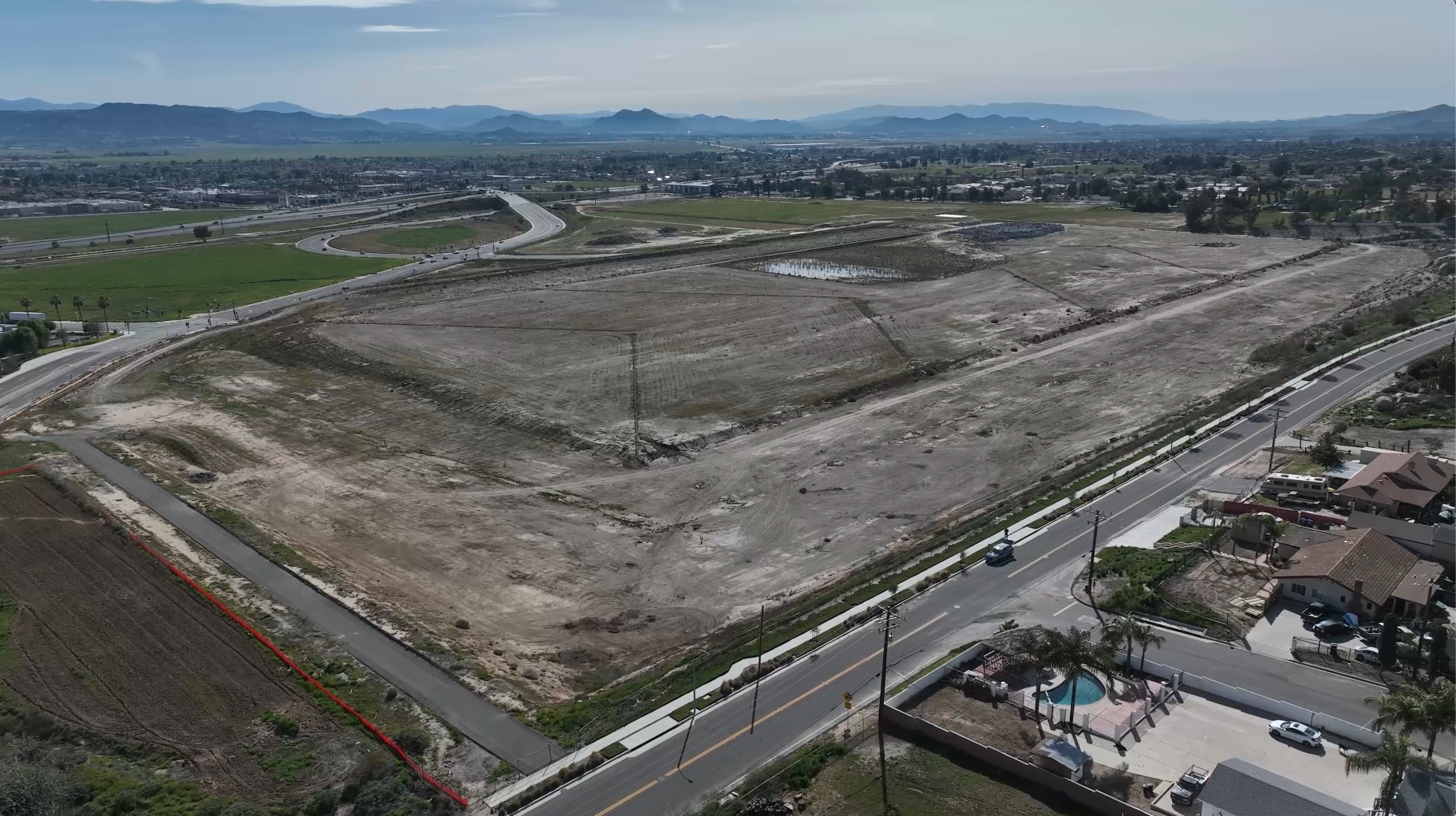
Site Construction and Planning Visual data collected by a drone can help construction companies get a solid understanding of the entire site before they begin construction. This pre-planning data can show possible drainage spots, changes in elevation, and other...
Progress Monitoring Photos, videos, 3D models, and orthomosaic maps created with drone data can be used to provide clients with detailed, real-time reports on how things are progressing on-site. On larger construction projects, there are often multiple stakeholders in...
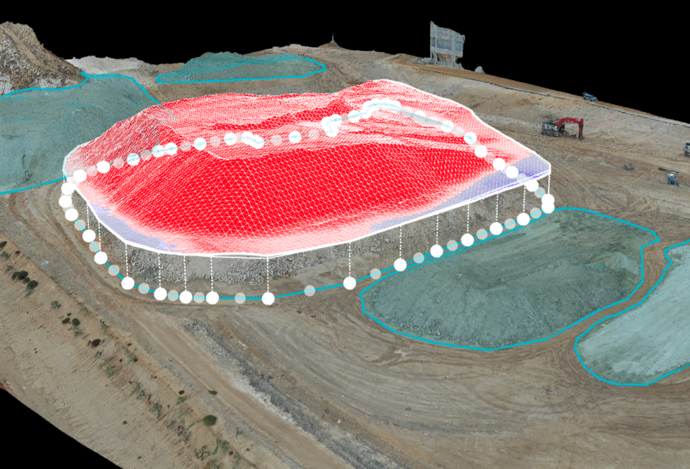
Stockpile Analysis Drones are a popular and conventional method of stockpile measurements in the industry. Our pilots can conduct stockpile analysis with our surveying drones and capture topographic data points that traditional methods cannot detect due to their...